Techno Geosurvey Consultants Limited
Thursday, April 30, 2026

Technogeosurvey

 
  • Topographic Survey

    Topography is the study of a surface. Recording all the existing features of the area including the measurement of elevation and shape

    Read More
  • Survey Team

    Techno Geosurvey Consultants Ltd provide a full range of engineering surveys to suit any building or civil construction project. Our surveyors and management team have the experience, capability and technology to resolve even the most complex survey challenges

    Read More
  • Geodetic Survey

    Techno Geosurvey Consultants Ltd are fully equipped with the latest survey quality GPS instruments and post processing software and can carry out all aspect of GPS surveying.

    Read More
  • Site Survey Preparation

    Survey Control is a network of permanent reference points used for setting-out and/or mapping purposes. We provide site control in local or national grid to millimetre / sub-millimetre accuracies.

    Read More
  • Control Points

    As the name states, this points controlling the project accuracy. one or two known station can be obtained from the authorities and it known as benchmark. Usually the project will be far from the bench marks thus leads to shift the benchmark value to the project area

    Read More


TGC

   
  ABOUT OUR COMPANY

TECHNO GEOSURVEY CONSULTANTS LTD. is a limited company registered under the company ordinance with registration certificate no. 112809 in November 10 th, 2014. The objectives upon which the company is established includes, among many other things, the following major aspects:

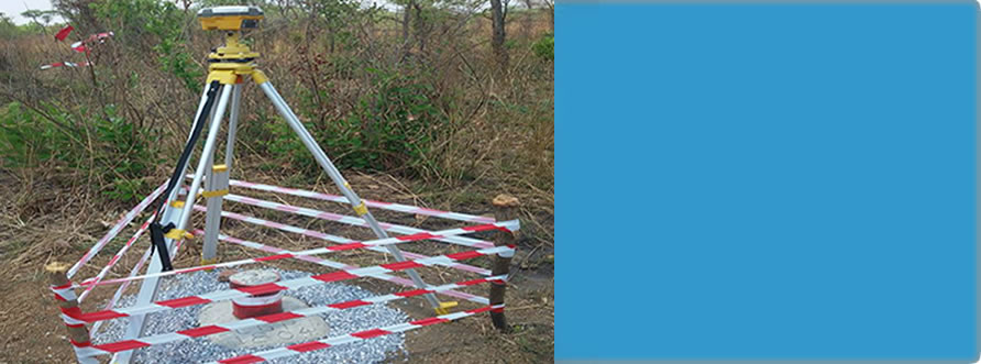
  • To engage in consultancy and feasibility studies in geodetic surveys, topographical and cadastral surveys, engineering and mining surveys, satellite positioning and surveying, hydrographic surveys, and photogrammetric mapping and geographical information system developments.
  • To carry on the business of computer related surveying activities, software development, data acquisition, computer related mapping, offshore activities such as bathymetry, offshore positioning, offshore engineering activities such as dredging, laying of pipes and cables, tides and current measurements, oceanographic surveys, pollution control, beach erosion monitoring and underwater positioning.

  • Engage in all aspects of land surveying, mapping, remote sensing, physical planning, civil engineering, soils, architectural and quantity surveying, building mechanical engineering and land economy.

To realize the above objectives the company has embarked on a program of acquiring suitable manpower and having the necessary facilities for execution of the tasks outlined in the objectives.


Contact Us

  • Plot No. 755, Block 47 Kijitonyama Mabatini,P.O. Box 90338,
  • Kinondoni District-Dar es Salaam
  • Phone: +255752087427, +255714643492
  • Email:info@technogeosurvey.co.tz

Find us in social

Get us in social network listed bellow

rss in skype google