


TRANSMISSIONI LINE DESIGN
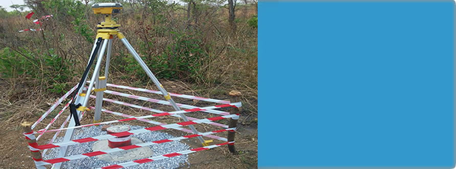
In any infrastructure Projects, the architect/engineer/planner requires an accurate and comprehensive map of the site, indicating a wide array of relevant information. Exact ground elevations, roads, buildings, utility services, trees and significant landscape and drainage features are all indicated on a Topographic Survey. The map is produced according to strict requirements outlined by the client needs. Surveys that are generally conducted along main roads and streets require great attention to detail. Along with our normal survey considerations, there are usually issues such as traffic and personnel safety to consider, especially where large amounts of time is required in the road, because of extra detail required such as; culvert, drainages, lane information and central reservation information. Roads are normally surveyed to extents of highway boundary, although clients sometimes require, with permission from property owners, to give them information on building positions of trees and other relevant detail when planning, large 'above road' structures. Detail varies according to size and type of site and is always adjustable to the client needs. Our basic surveys will always include boundaries; trees; levels across the site are taken as a 10m grid with additional spot heights taken to account for undulating topography. Presentation is at scales from 1:50 to 1:500 depending on the clients' needs - typically on A3/A2/A1/A0 size sheets of stable base material or colored paper copies. Digital data is supplied for use with AutoCAD in DWG/DXF and PDF formats.• Route Alignment Survey: It is conducted for proposed routes of transportation and communication, such as transmission lines, pipelines and tunnels. At least three alternative route alignments are surveyed, out of which one is selected as the most optimum alignment.
• Detailed Route Survey: It is conducted using modern survey techniques for the optimum route alignment selected. Route marking and profiling is done using total station / DGPS and reference levels are recorded along the route. The complete profiling details are digitized and computer aided tower spotting is carried out.
• Engineering Design: Profiling and Tower Spotting are carried out using PLS-CADD software.
• Construction Survey: Examples of construction surveys are highway pre-construction, construction and post – construction surveys
• Topographic Survey: It is conducted for various geological and geophysical exploration surveys such as 2D/3D Seismic surveys, Gravity surveys, geological mapping, etc
• Contour Survey: It is conducted for land and water bodies. A natural complement to any map or plan is the use of contours. Contouring gives an easily readable visual representation of a complex surface.
![]()